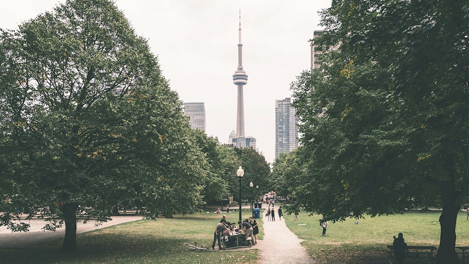
A new free online tool was introduced to branch out tree equity in Toronto, ensuring all residents can reap a greener city's environmental and social benefits.
The Tree Equity Score Analyzer (TESA), a collaborative effort between the City of Toronto, American Forests, and Local Enhancement and Appreciation of Forests (LEAF), strives to empower residents and urban planners to identify areas needing additional tree cover.
Dianne Saxe, the city councillor of Ward 11 University-Rosedale, said this partnership aims to reach a 40 per cent tree canopy cover target by 2050.
“This is an exciting partnership, one that will help us take a major step forward in our mission,” Saxe said.
“Through the program, we will soon see even more collaboration to support and enhance spaces suited for tree growth in neighbourhoods across the city, and most importantly, help determine how to best protect existing and future foliage,” she said.
City staff have worked with American Forests, a national nonprofit conservation organization that creates healthy and resilient forests, to provide local, provincial and federal data to create a Toronto-specific tool that examines which parts of the city would benefit the most from tree planting.

TESA leverages high-resolution tree canopy data alongside socio-economic factors like income, race, and health statistics to produce a comprehensive score rated from zero to 100.
It paints a clear picture of the neighbourhoods currently lacking sufficient tree cover as they often coincide with areas facing lower income and higher heat disparity.
According to the online tool, examples of neighbourhoods lacking tree cover include Milliken situated in the northwest part of Scarborough scoring 42 per cent, Downsview located in North York at 57 per cent, and Agincourt located in the northeast part of the city at 47 per cent.
“Data-driven strategies can transform communities. For the first time, different levels of tree cover in neighbourhoods across the City will be mapped to help us ensure that we’re planting trees in the areas of the city that will benefit most,” said Jennifer McKelvie, deputy mayor and councillor for Scarborough-Rouge Park.
"As we look to expand the city’s tree canopy, I’m looking forward to this new approach helping us maintain and grow our beautiful city in a park,” she said.
In a media release, city officials said that community organizations and leaders can use the tool to explore possible planting scenarios, set targets, and track progress.
Moreover, they also said that TESA provides auto-generated reports that estimate the projected economic, health and environmental benefits of each tree planting initiative with some long-term goals, including reducing air temperatures, removing air pollution and improving physical and mental well-being.


